Our Town Store
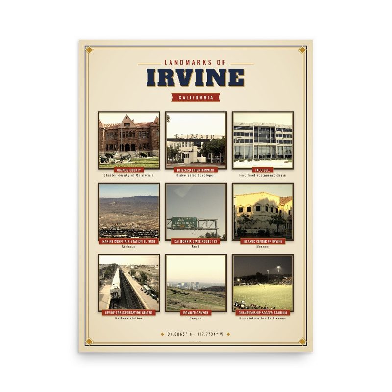
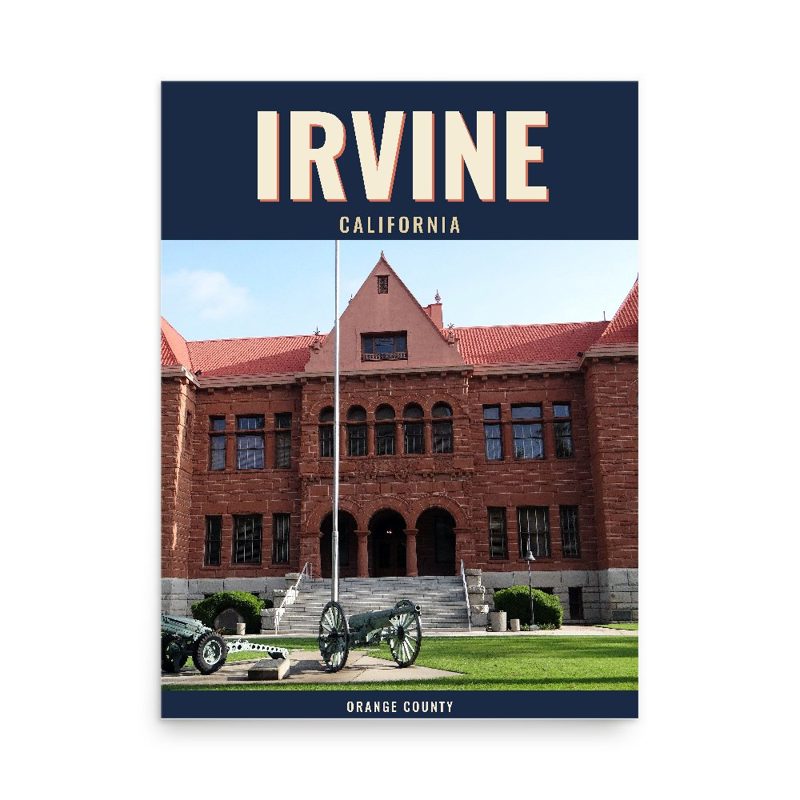
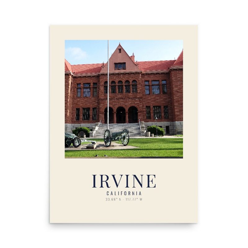
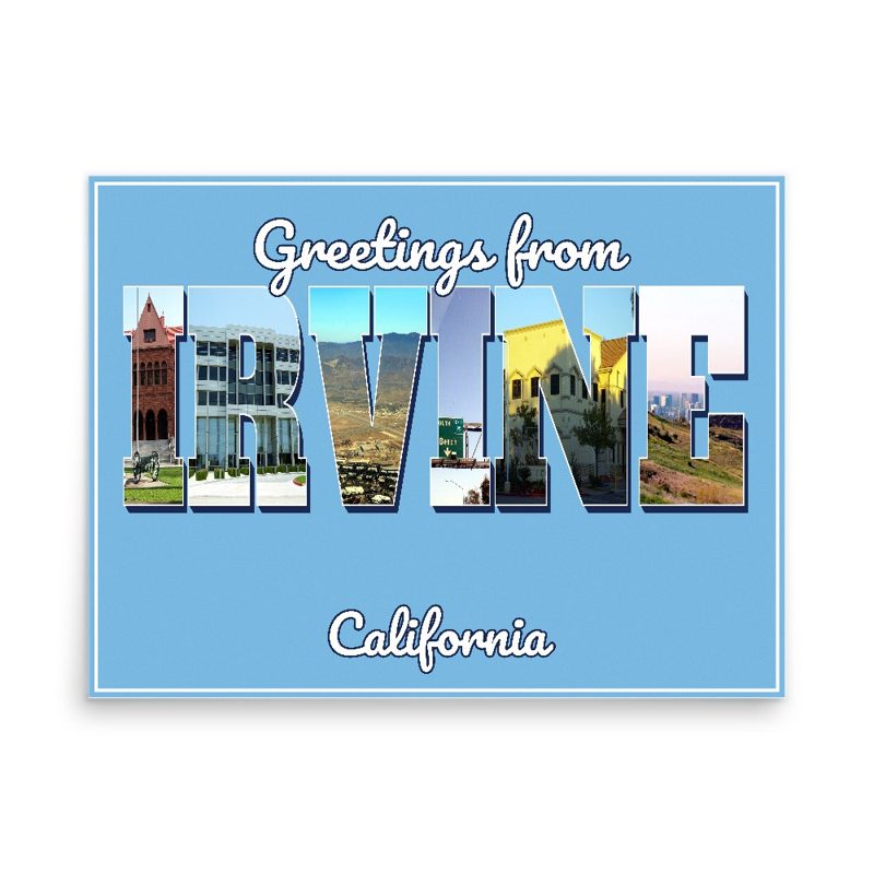
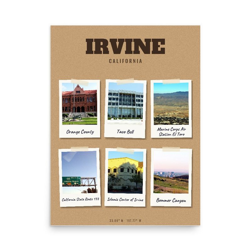
Header photo: Photocopy of aerial photograph, Pacific Air Industries, Flight 123V, June 29, 1960 (University of California, Santa Barbara, Map and Imagery Collection) PORTION OF IRVINE RANCH SHOWING SITE CA-2275-A IN LOWER LEFT QUADRANT AND SITE CA-2275-B IN UPPER RIGHT QUADRANT (see separate photograph index for 2275-B) - Irvine Ranch Agricultural Headquarters, Carillo Tenant House, Southwest of Intersection of San Diego & Santa Ana Freeways, Historic American Buildings Survey, Library of Congress (public domain). Product photos via Wikimedia Commons: Orange County: Cbl62, CC BY-SA 3.0; Blizzard Entertainment: KennethHan, Public domain; Taco Bell: Coolcaesar, CC BY-SA 3.0; Marine Corps Air Station El Toro: Don Ramey Logan, CC BY-SA 3.0; California State Route 133: Lmiguelrd, Public domain; Islamic Center of Irvine: Hcallas, CC BY-SA 3.0; Irvine Transportation Center: Florian Boyd, CC BY-SA 2.0; Bommer Canyon: Sueswim03, CC BY-SA 3.0; Championship Soccer Stadium: Haruhi8, CC0; California State Route 261: Fluffy89502, Public domain. Timeline text quoted from Wikipedia (CC BY-SA 4.0). Archive prints: Library of Congress, no known restrictions.
Shop About Partners Link to us Shipping Returns Privacy Terms YouTube hello@ourtownstore.com
Map data © OpenStreetMap contributors (ODbL). Town history from Wikipedia (CC BY-SA 4.0). Not affiliated with the Town of Irvine.