Siskiyou County, California
Street maps, historic prints and keepsakes for 9 Siskiyou County towns.
The largest by population is Yreka (7,807).
| Town | Population |
|---|---|
| Dorris | 860 |
| Dunsmuir | 1,707 |
| Etna | 678 |
| Fort Jones | 695 |
| Montague | 1,226 |
| Mount Shasta | 3,223 |
| Tulelake | 902 |
| Weed | 2,862 |
| Yreka | 7,807 |
About these towns
Dorris: The town was named in 1907 by the Southern Pacific Railroad for brothers Presley A. and Carlos J. Dorris who raised stock in Little Shasta in the 1860s before moving to Dorris' Bridge on the Pit River, renamed Alturas, California in 1876.
Dunsmuir: Sites in and near Dunsmuir have been inhabited for over 5000 years. At least three waves of early peoples swept through area, establishing residence.
Etna: In 1854 a flour mill was built a mile away and named the Aetna Mills. However, the winter of 1861-62 it was destroyed by a flood and the remaining businesses moved to Rough and Ready Mill near the current town.
Fort Jones: Fort Jones is registered as a California Historical Landmark. It takes its name from the frontier outpost once located less than a mile to the south of the city's corporate limits.
Mount Shasta: During the 1820s, early Euro-American trappers and hunters first passed through the area, following the path of the Siskiyou Trail. The Siskiyou Trail was based on a network of ancient Native American footpaths connecting California and the Pacific Northwest.
Tulelake: The first public auction of Tulelake land parcels took place on April 15, 1931. Over 100 lots were sold for prices ranging from $65 to $350.
Weed: The city of Weed derives its name from the founder of the local lumber mill and pioneer Abner Weed, who discovered that the area's strong winds were helpful in drying lumber.
Yreka: In March 1851, Abraham Thompson, a mule train packer, discovered gold near Rocky Gulch while traveling along the Siskiyou Trail from southern Oregon.
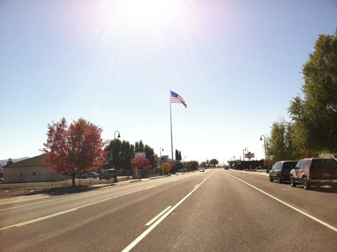 DorrisCalifornia
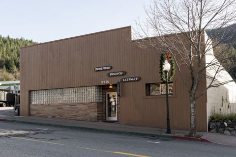 DunsmuirCalifornia
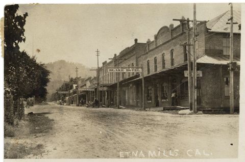 EtnaCalifornia
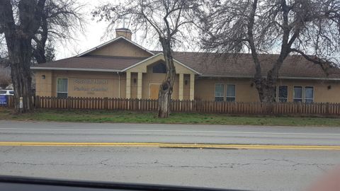 Fort JonesCalifornia
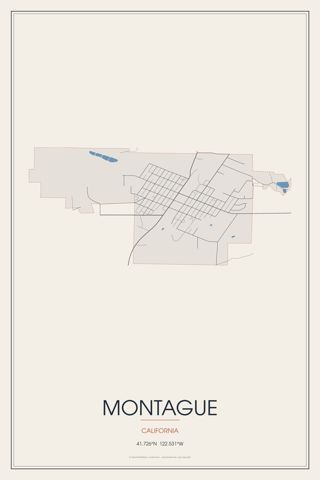 MontagueCalifornia
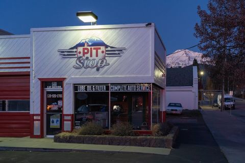 Mount ShastaCalifornia
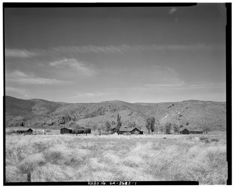 TulelakeCalifornia
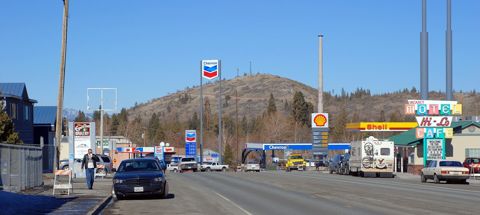 WeedCalifornia
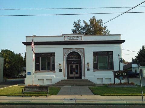 YrekaCalifornia
Founding years, populations and town notes come from each town's Wikipedia and Wikidata entries. All California towns.