Our Town Store
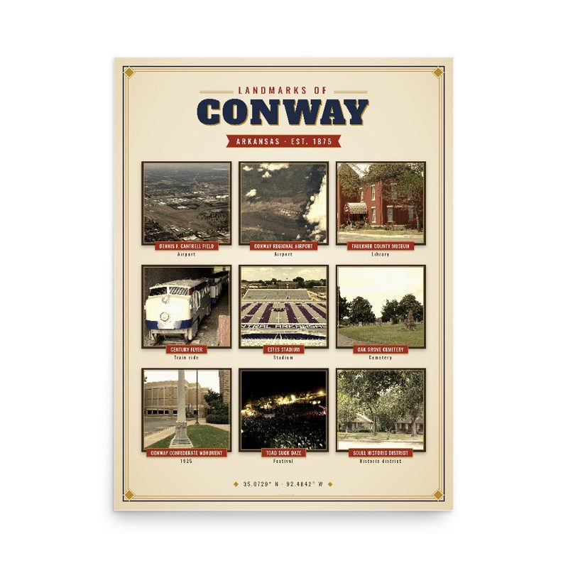
Header photo: Conway Regional Airport by Sebaso, CC0, via Wikimedia Commons. Product photos via Wikimedia Commons: Dennis F. Cantrell Field: Civil Air Patrol, Public domain; Conway Regional Airport: Sebaso, CC0; Faulkner County Museum: L. Allen Brewer, CC BY 2.0; Century Flyer: Valis55, CC BY-SA 3.0; Estes Stadium: Steve Wright Jr. (flickr user: Wright Way Photography), CC BY 2.0; Oak Grove Cemetery: Valis55, CC BY-SA 3.0; Conway Confederate Monument: whitm88, CC BY-SA 3.0; Toad Suck Daze: Jljgates, CC BY-SA 3.0; Scull Historic District: Kendra321, CC BY-SA 4.0; Administration Building, University of Central Arkansas: Arraz, CC BY 3.0; O.L. Dunaway House: Cid.williams, CC BY-SA 3.0; Greeson-Cone House: Cid.williams, CC BY-SA 3.0. Timeline text quoted from Wikipedia (CC BY-SA 4.0). Archive prints: Library of Congress, no known restrictions.
Shop About Partners Link to us Shipping Returns Privacy Terms YouTube hello@ourtownstore.com
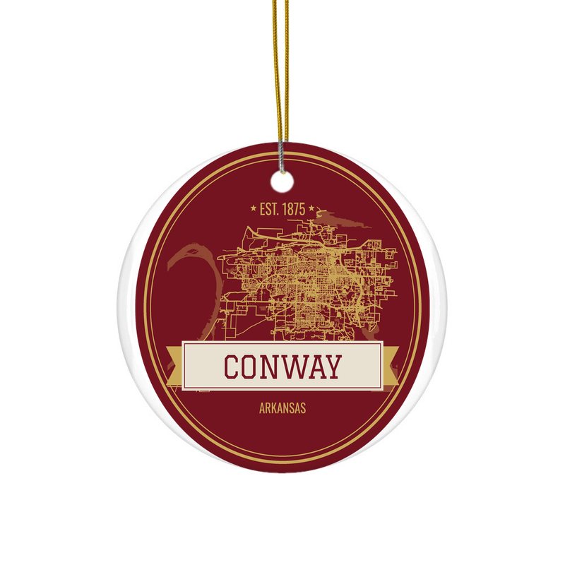
Map data © OpenStreetMap contributors (ODbL). Town history from Wikipedia (CC BY-SA 4.0). Not affiliated with the Town of Conway.