Our Town Store
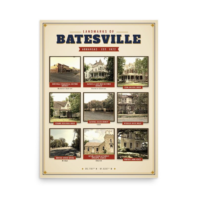
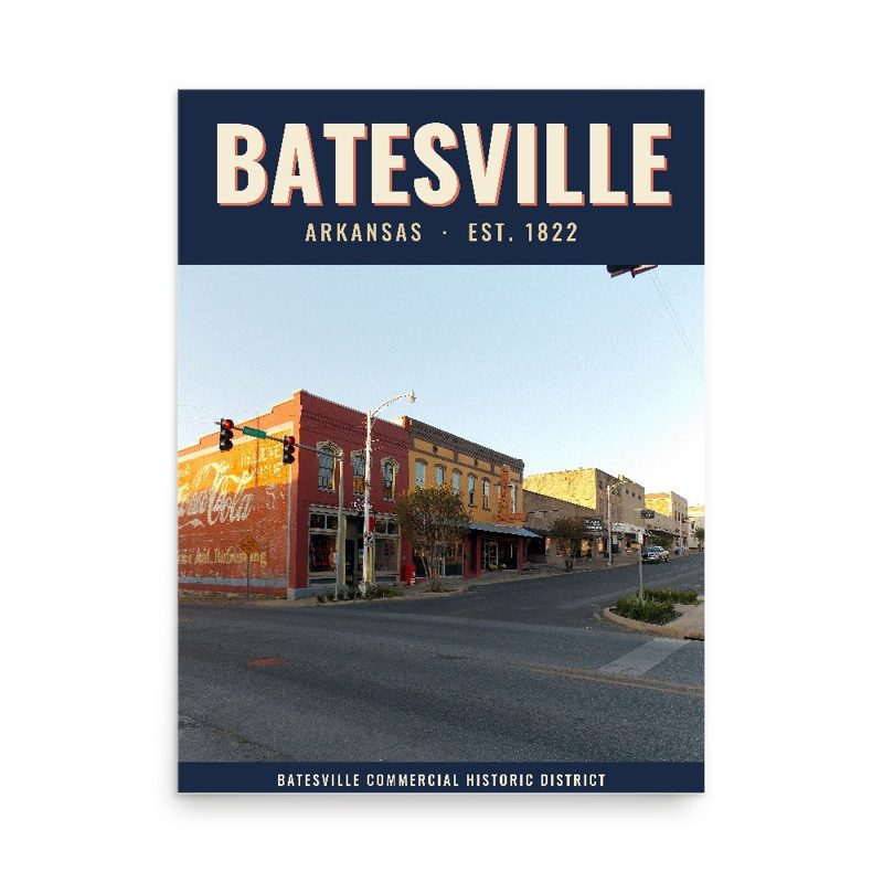
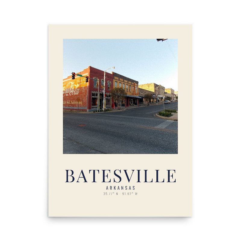
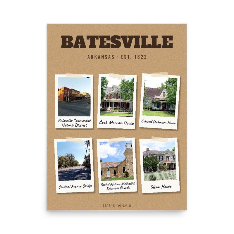
Header photo: SOUTH PORTAL LOOKING NORTH - Miller Creek Bridge, Spanning Miller Creek at Miller Creek Road (CR 86), Historic American Buildings Survey, Library of Congress (public domain). Product photos via Wikimedia Commons: Batesville Commercial Historic District: Kennethrorie, CC BY-SA 3.0; Batesville East Main Historic District: Valis55, CC BY-SA 3.0; Cook-Morrow House: Valis55, CC BY-SA 3.0; Edward Dickinson House: Valis55, CC BY-SA 3.0; National Guard Armory: Kennethrorie, CC BY-SA 3.0; Wycough-Jones House: Kennethrorie, CC BY-SA 3.0; Central Avenue Bridge: Kennethrorie, CC BY-SA 3.0; Bethel African Methodist Episcopal Church: Valis55, CC BY-SA 3.0; Bartlett-Kirk House: Kennethrorie, CC BY-SA 3.0; Adler House: Valis55, CC BY-SA 3.0; Glenn House: Valis55, CC BY-SA 3.0; Dondy Building: Kennethrorie, CC BY-SA 3.0. Timeline text quoted from Wikipedia (CC BY-SA 4.0). Archive prints: Library of Congress, no known restrictions.
Shop About Partners Link to us Shipping Returns Privacy Terms YouTube hello@ourtownstore.com
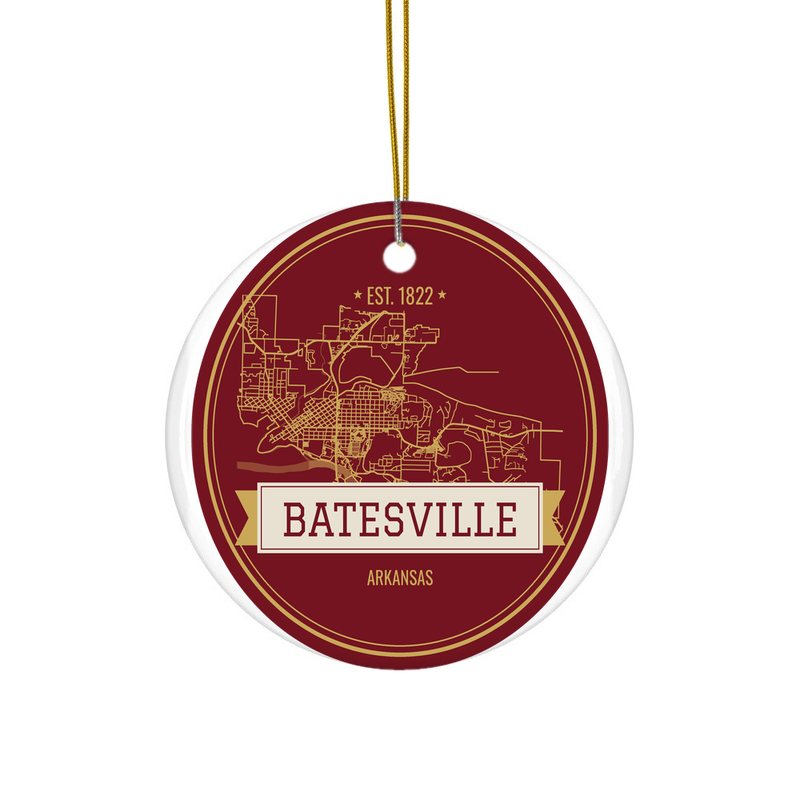
Map data © OpenStreetMap contributors (ODbL). Town history from Wikipedia (CC BY-SA 4.0). Not affiliated with the Town of Batesville.