Yukon-Koyukuk Census Area, Alaska
Street maps, historic prints and keepsakes for 16 Yukon-Koyukuk Census Area towns.
The largest by population is Galena (472).
| Town | Population |
|---|---|
| Allakaket | 177 |
| Anvik | 70 |
| Bettles | 23 |
| Galena | 472 |
| Grayling | 210 |
| Holy Cross | 176 |
| Hughes | 85 |
| Huslia | 304 |
| Kaltag | 158 |
| Koyukuk | 98 |
| Mcgrath | 301 |
| Nenana | 358 |
| Nikolai | 89 |
| Nulato | 239 |
| Shageluk | 100 |
| Tanana | 246 |
About these towns
Allakaket: Several Native groups have lived in the area, including Koyukon Athabascans and Kobuk, Selawik, and Nunamiut Eskimos from the north and northwest.
Anvik: The name Anvik, meaning "exit" in the Central Alaskan Yup'ik language, became the common usage despite multiple names at the time, and may have come from early Russian explorers.
Bettles: The original village was founded a mile southwest of the junction of the John & Koyukuk Rivers in the late 1890s during the Alaska Gold Rush and was named for Gordon C.
Galena: The Koyukon Athabascans had seasonal camps in the area and moved as the wild game migrated. In the summer many families floated on rafts to the Yukon River to fish for salmon.
Grayling: Since 1977, the Athabaskan village has seen a surge of interest on odd-numbered years, when it is the site of a checkpoint during the Iditarod Trail Sled Dog Race.
Huslia: Rarely known as Hussliakatna, it is inhabited by Koyukuk-hotana Athabascans. In January 2025, Huslia became notable for being unusually warm at a time when much of the US was experiencing atypically cold weather due to a polar vortex.
Kaltag: Kaltag was a Koyokon Athabascan area used as a cemetery for surrounding villages. It is located on an old portage trail which led west through the mountains to Unalakleet.
Koyukuk: The Koyukon Athabascans had seasonal camps and moved when the wild game migrated. There were 12 summer fish camps located on the Yukon River between the Koyukuk River and the Nowitna River.
Mcgrath: In 1904, Abraham Appel established a trading post in Old Town. In 1906, gold was discovered in the Innoko District, and in 1907, and at Ganes Creek.
Nenana: Nenana is in the westernmost portion of Tanana territory. (The Tanana are among the large Dené language family, also known as Athabascan.) The town was first known by European Americans as Tortella, a transliteration of the Indian word Toghotthele, which means "mountain that parallels the river." It was later named for the river and the Nenana people who live nearby.
Nulato: After the Alaska Purchase, a United States military telegraph line was constructed along the north side of the Yukon River. The gold rush along the Yukon River that began in 1884 brought many new diseases to the area and many people died.
Tanana: Prior to arrival of settlers in early 1860, the point of land at the confluence of the Tanana and Yukon Rivers (Nuchalawoyyet, spelled differently in historical accounts) was a traditional meeting and trading place used by members of several indigenous groups.
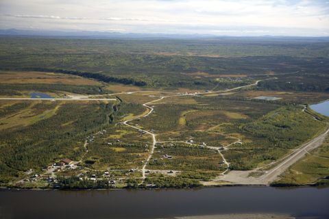 AllakaketAlaska
 AnvikAlaska
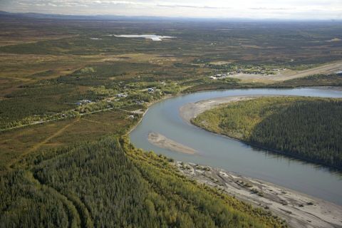 BettlesAlaska
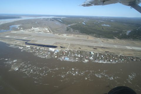 GalenaAlaska
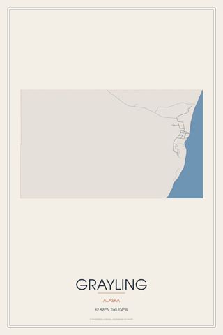 GraylingAlaska
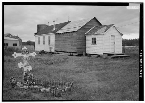 Holy CrossAlaska
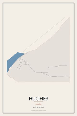 HughesAlaska
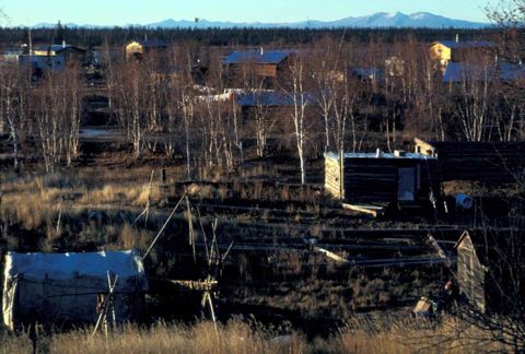 HusliaAlaska
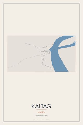 KaltagAlaska
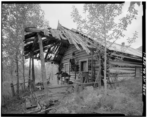 KoyukukAlaska
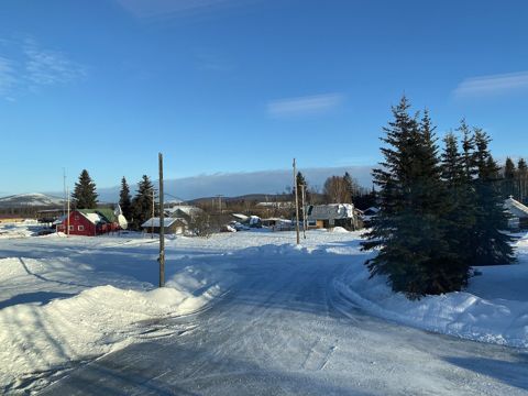 McgrathAlaska
 NenanaAlaska
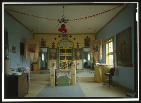 NikolaiAlaska
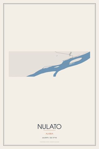 NulatoAlaska
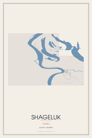 ShagelukAlaska
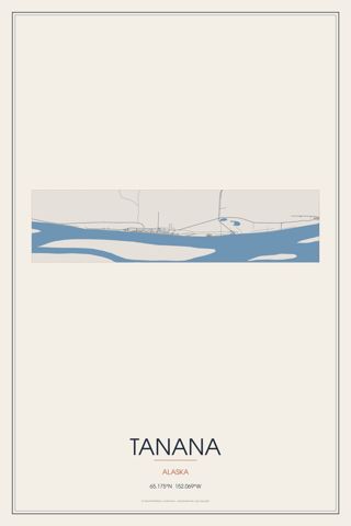 TananaAlaska
Founding years, populations and town notes come from each town's Wikipedia and Wikidata entries. All Alaska towns.